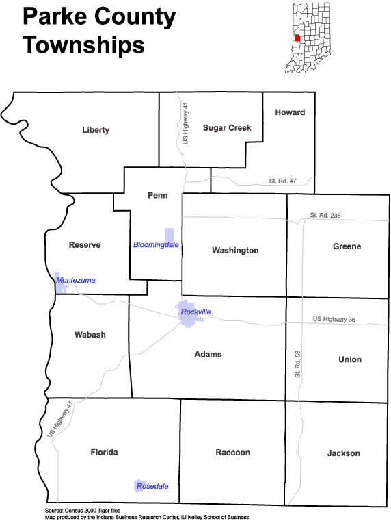
Raccoon Township is one of thirteen townships in Parke County, Indiana, United States. At the 2020 census, its population was 689 and it had 341 housing units.
History
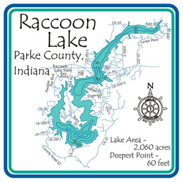
Raccoon Township took its name from the Big and Little Raccoon creeks.
The Bridgeton Covered Bridge, Bridgeton Historic District, Conley's Ford Covered Bridge, Jeffries Ford Covered Bridge and Nevins Covered Bridge are listed on the National Register of Historic Places.
Geography
According to the 2010 census, the township has a total area of 37.09 square miles (96.1 km2), of which 37.05 square miles (96.0 km2) (or 99.89%) is land and 0.04 square miles (0.10 km2) (or 0.11%) is water.
Unincorporated towns
- Bridgeton at 39.645041°N 87.177515°W / 39.645041; -87.177515
- Catlin at 39.693651°N 87.235293°W / 39.693651; -87.235293
- Diamond at 39.61143°N 87.166126°W / 39.61143; -87.166126
- Minshall at 39.671707°N 87.221682°W / 39.671707; -87.221682
- Smockville at 39.626153°N 87.13307°W / 39.626153; -87.13307
- Snow Hill at 39.655597°N 87.170015°W / 39.655597; -87.170015
- Superior at 39.629485°N 87.155570°W / 39.629485; -87.155570
(This list is based on USGS data and may include former settlements.)
Extinct towns
- Walton at 39.668097°N 87.150014°W / 39.668097; -87.150014
(These towns are listed as "historical" by the USGS.)
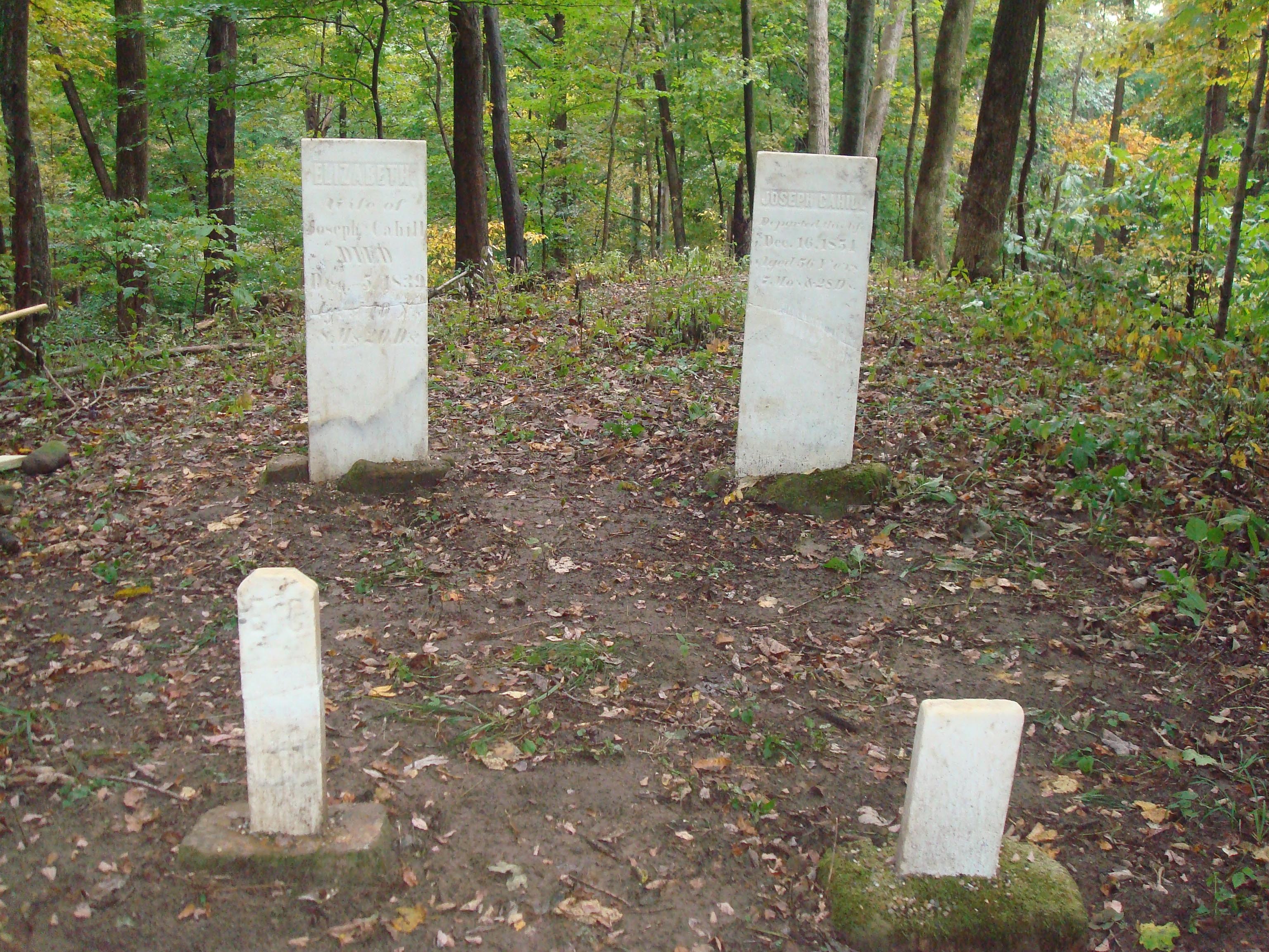
Cemeteries
The township contains five cemeteries: Brunot, Clear Run, Denman, Hartmans and Webster.
School districts
- Southwest Parke Community School Corporation
Political districts
- State House District 42
- State Senate District 38
References
- "Raccoon Township, Parke County, Indiana". Geographic Names Information System. United States Geological Survey, United States Department of the Interior. Retrieved November 1, 2009.
- United States Census Bureau 2009 TIGER/Line Shapefiles
- IndianaMap
External links
- Indiana Township Association
- United Township Association of Indiana
- City-Data.com page for Raccoon Township